What Your Best Paddocks Can Teach You
Every producer has paddocks they consider their best performers.
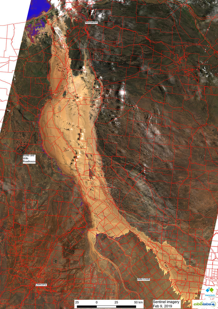

These satellite images were captured over the devastated areas from Julia Creek, Cloncurry and out to the Gulf yesterday (9th Feb). At its widest point the flood is more than 75km across. A quick analysis suggests that yesterday there was more than 20,000 square km under water. We've put the property boundaries over the images to provide a sense of how many properties are inundated. A link to the image is here https://bit.ly/2MVP1WB
Our thoughts are with all those dealing with this terrible situation. Please contact us if you need more information.
Every producer has paddocks they consider their best performers.
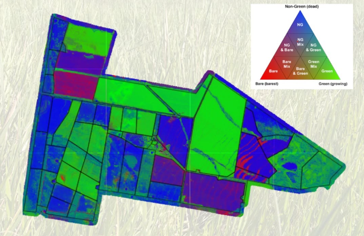
We all know the importance of keeping an eye on pasture. But by the time a change is obvious from the ute window or during a paddock inspection, it...
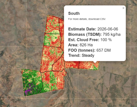
When it comes to pasture management, it’s easy to focus on a single number.