From Science to Scale: Reflecting on 2025 and looking to 2026 A Summary from our Founders
As we close the door on 2025, we (Phil and Peter) have been taking a moment to look back at what has arguably been the most pivotal year in Cibo...

Unlocking 30 years of satellite data for every rural property in Australia in minutes
Verify your legal property boundary.
Create a secure, authenticated and auditable digital farm record that will make it easier and cheaper to access and integrate supply chain, traceability and “agtech solutions” into your your business.
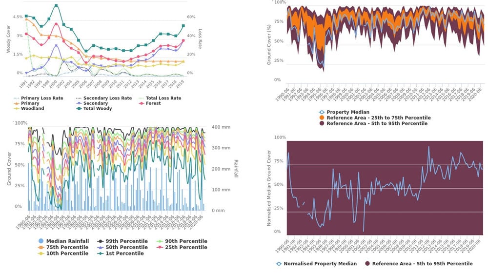
Analyse 30 years of satellite imagery showing seasonal changes in ground cover and annual changes in woody vegetation.
Benchmark your property against your neighbors and the region.
Generate reports for: strategic planning; carbon and ecosystem service project registrations and reporting; property valuation.

As we close the door on 2025, we (Phil and Peter) have been taking a moment to look back at what has arguably been the most pivotal year in Cibo...

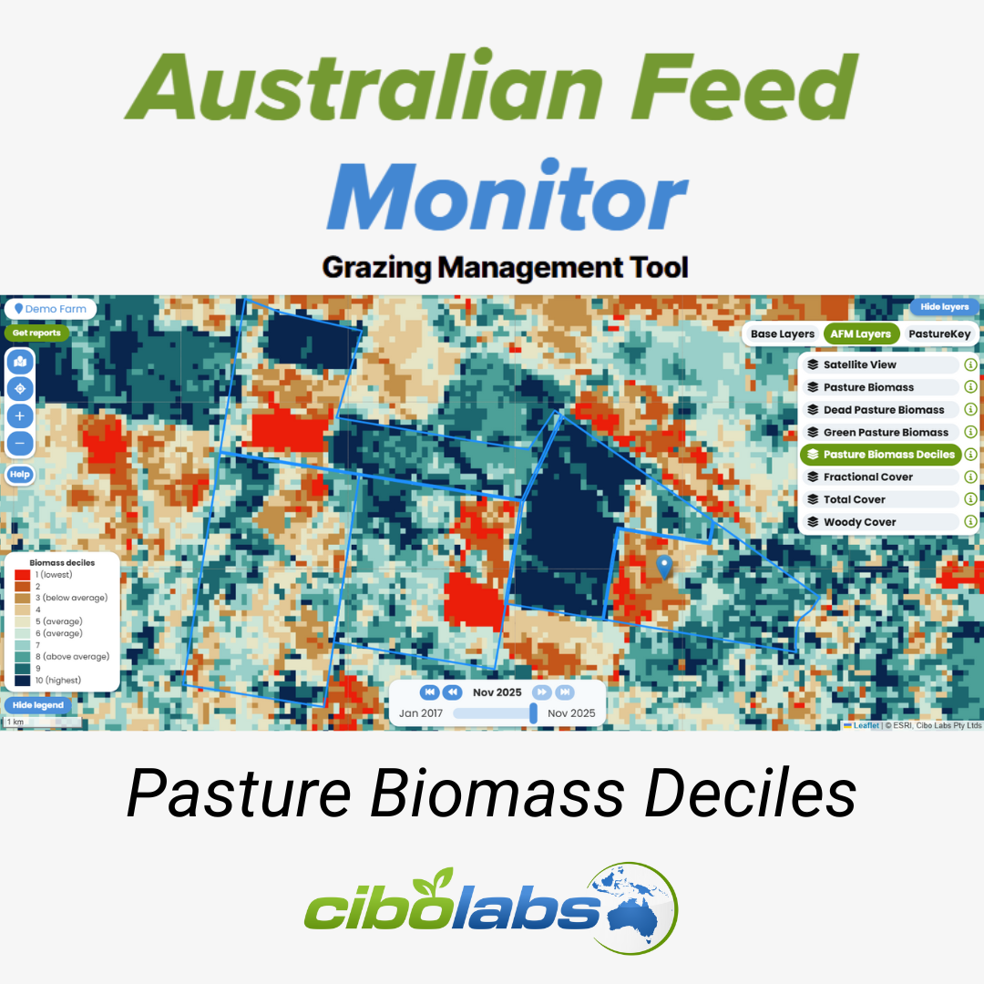
Knowing whether your season is “good,” “bad,” or “average” is critical for proactive farm management. Traditionally, this decision relied heavily on...

A step forward in feedbase intelligence For livestock producers, accurate feedbase data underpins every major grazing and stocking decision. From...