1 min read

Straight from the Scientist: State of the Map 2026 Conference

Straight from the Scientist: State of the Map 2026 Conference

Why the Best Pasture Maps Still Need Ground Truth

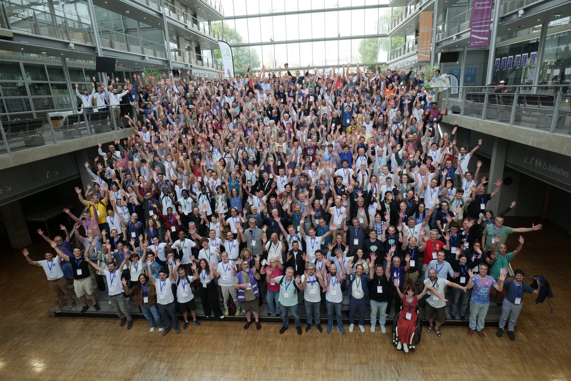
G'day from Paris, where geospatial developers and cartographers have gathered for the State of the Map 2026 conference.

Discussing open-source mapping in Europe might seem a world away from running cattle or managing pasture across vast Australian paddocks, but one central theme keeps echoing across the auditoriums: high-tech maps still need local ground truth.

What satellites can see

From hundreds of kilometres in orbit, satellites provide exceptional tools for tracking pasture biomass, Fractional Cover and historical feed trends across large areas.

They can help producers see patterns, compare paddocks and understand how their feedbase is changing over time.

But there are some things an algorithm simply can't see.

It doesn't know which creek crossing washed out after 20 mm of rain, which solar pump is playing up or which gate latch is currently being held together with baling twine.

That's where local knowledge comes in.

The same lesson, wherever you're mapping

Whether researchers are mapping check dams in the Alps, unformed tracks in Madagascar or remote earthworks, the takeaway is much the same.

Space-based pixels can show that a gully exists, but they can't tell you whether the silt trap is holding or if the creek crossing has washed out.

The same applies to Australian grazing properties.

Satellite data can provide an objective, property-wide view of pasture conditions, but it can't replace the knowledge that comes from working that country every day.

Satellite data is only half the equation

At Cibo Labs, we see satellite data as only half the equation.

Spatial pasture estimates provide the macro picture, while your lived experience turns those pixels into practical grazing decisions.

When you combine satellite biomass analytics with your own on-ground property knowledge, identifying reliable water points, tracking paddock rest cycles and noting track conditions, you turn a digital layer into something far more useful: an operational view of your property.

It's the combination of the two that provides the greatest value.

You're still the chief cartographer

Satellites and cloud computing can do plenty of the heavy lifting. They can monitor enormous areas consistently, provide historical context and help identify changes that might otherwise be difficult to see.

But they can't replace the person in the ute.

You remain the chief cartographer of your land, providing the irreplaceable ground truth that makes spatial technology genuinely useful.

The technology provides another set of eyes across the property. Your experience provides the context to know what to do with what you see.

Peter Scarth

Co-Founder & Technical Director 


Straight from the Scientist: State of the Map 2026 Conference

Straight from the Scientist: State of the Map 2026 Conference

Why the Best Pasture Maps Still Need Ground Truth G'day from Paris, where geospatial developers and cartographers have gathered for the State of the...

Read More
August Newsletter: Science direct to the front gate

August Newsletter: Science direct to the front gate

August at Cibo Labs: Preparing for What’s Ahead There’s plenty happening as we move towards spring, with changing seasonal conditions, evolving...
Read More
Have You Started Preparing for Spring?

Have You Started Preparing for Spring?

Spring is getting closer, and for many producers, preparations are already underway.

Read More