From Science to Scale: Reflecting on 2025 and looking to 2026 A Summary from our Founders
As we close the door on 2025, we (Phil and Peter) have been taking a moment to look back at what has arguably been the most pivotal year in Cibo...

Nearly a week has past since the flood peak, and extent of flood inundation and number of properties affected is hard to comprehend. These images captured today from 500m resolution MODIS satellite data showing at least 25,000sqkm still inundated, with the flood still 75km across at its widest point.
The floods are also well advanced into the channel country.
If we can provide any assistance please contact email: ptickle@cibolabs.com.au
Mob: 0437593037
The full resolution maps can be downloaded from here https://bit.ly/2BwWB5s

As we close the door on 2025, we (Phil and Peter) have been taking a moment to look back at what has arguably been the most pivotal year in Cibo...

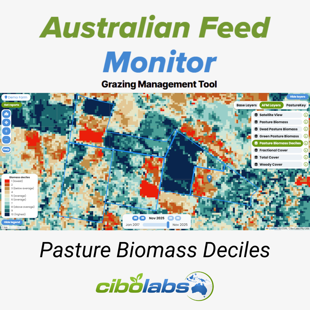
Knowing whether your season is “good,” “bad,” or “average” is critical for proactive farm management. Traditionally, this decision relied heavily on...

A step forward in feedbase intelligence For livestock producers, accurate feedbase data underpins every major grazing and stocking decision. From...